Ground Survey
Control Point Survey
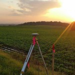
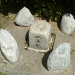
Measuring positions of the control points and surveying for renewing  the result of existing control points.
Leveling
Surveying to measure the height differences, differences in elevation between two points, classified as Direct Leveling and Indirect Leveling.

Global Navigation Satellite System (GNSS)Survey
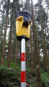
Surveying to measure the position and height using Global Navigation Satellite System (GNSS), such as Global Positioning System (GPS) and Galileo System. The GNSS receivers are installed at two measuring places and measured by receiving GPS signal transmitted from the GPS satellites.

Investigation and Application
Applied Survey
Utilize the basic survey, Control Point Survey, Leveling,Land Survey, Photogrammetry, and combine some of them in accordance with purposes of use, including Route Survey, River Survey and Land Survey.
Land Survey
Surveying land and boundaries of land, create drawings and materials necessary for land acquisition,performed on works rules of Public Survey.
Topographic Survey
Measuring the undulations of the ground, the position of natural objects such as river and artificial structure such as building to investigate the name of the place and boundaries.
Sounding
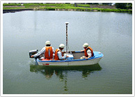
Creating cross‐section drawings in rivers, lakes,reservoirs and coastal areas, by measuring water depth, sounding position and water level to determine the undulations of water bottom ground.

Application for Development Activities
Consistently performing all planning, surveying, design,application for licenses as an agent.
Hydrographic Survey
Providing information of various phenomenon related to water, Surface Water and Groundwater, by finding out various phenomenon related to water by using variety of survey methods and comprehensive analysis technology.
City Planning
Performing newly or change of land sections and traits,public facilities such as roads and drainage.


